| Item Detail |
| |
| |
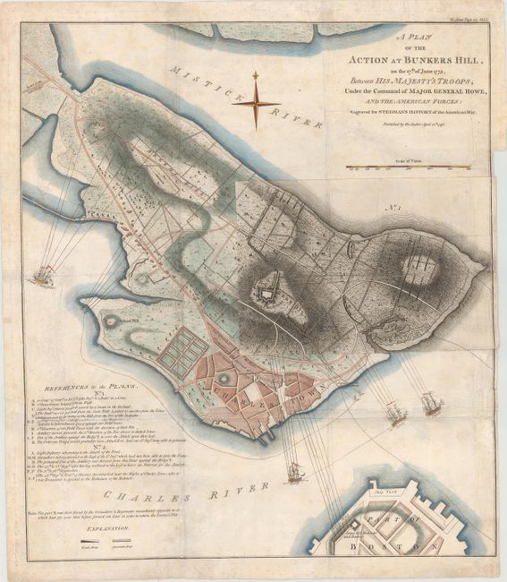
MapMaker: |
Charles Stedman
|
|
| |
| |
Subject: |
Boston, Massachusetts |
|
| |
Period/Size: |
1793 / 18.9" x 16.7" (48.0 x 42.5 cm)
|
|
| |
Color: |
Colored
|
|
| |
Condition: |
(B) Issued folding, now pressed with moderate soiling, some extraneous creases, and archival repairs to a few fold separations and tiny holes at fold intersections. There are two archivally repaired tears that extend 5" into map: one is just below the ti (condition help) |
|
| |
Source: |
History of the Origin, Progress, and Termination of the American War |
|
| |
References: |
Nebenzahl (Biblio) #29; cf. Nebenzahl & Higginbotham (Amer. Rev.) #4. |
|
| |
|
|
| Sales Information |
| |
| |
Price: |
|
|
| |
| |
Offered by: |
Old World Auctions |
|
| |
Catalog: |
Auction No. 150 - Antique Maps, Charts, Atlases & Globes (9230) |
|
| |
Lot/Item #: |
245 |
|
| |
| |
Date: |
09/2014
|
|
| |
| |
|