| Item Detail |
| |
| |
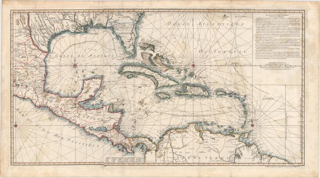
MapMaker: |
Philip Buache
|
|
| |
| |
Subject: |
Gulf of Mexico and Caribbean |
|
| |
Period/Size: |
1740 / 19.4" x 36.4" (49.3 x 92.5 cm)
|
|
| |
Color: |
Colored
|
|
| |
Condition: |
(B) On sturdy watermarked paper with light scattered stains, minor offsetting, and several archivally repaired fold separations, only one of which enters 2" into map image at bottom. (condition help) |
|
| |
Source: |
|
|
| |
References: |
Lowery p. 278, #358. |
|
| |
|
|
| Sales Information |
| |
| |
Price: |
|
|
| |
| |
Offered by: |
Old World Auctions |
|
| |
Catalog: |
Auction No. 150 - Antique Maps, Charts, Atlases & Globes (9230) |
|
| |
Lot/Item #: |
331 |
|
| |
| |
Date: |
09/2014
|
|
| |
| |
|