| Item Detail |
| |
| |
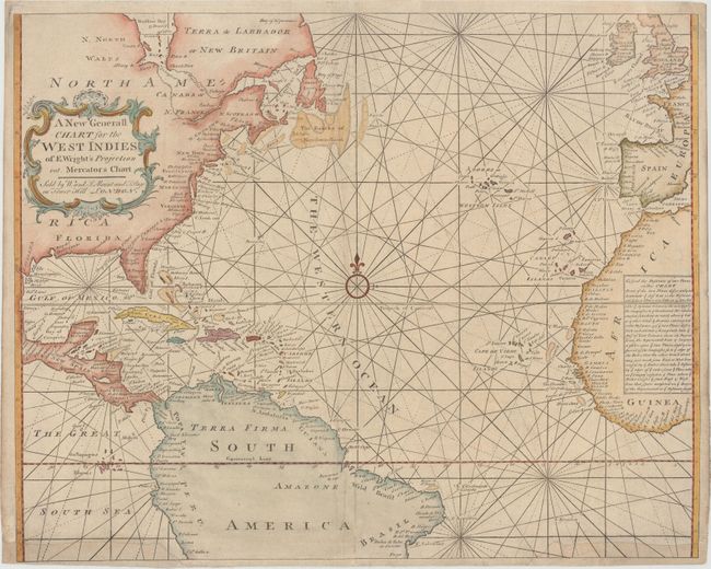
MapMaker: |
Mount & Page
|
|
| |
| |
Subject: |
North Atlantic |
|
| |
Period/Size: |
1749 / 17.8" x 22.4" (45.3 x 56.9 cm)
|
|
| |
Color: |
Colored
|
|
| |
Condition: |
(B) Light toning, a few creases at bottom, and two large chips in bottom corners that have been professionally repaired with the border and rhumb lines replaced in facsimile. (condition help) |
|
| |
Source: |
The English Pilot. The Fourth Book |
|
| |
References: |
Shirley (BL Atlases) M.M&P-5c #3. |
|
| |
|
|
| Sales Information |
| |
| |
Price: |
|
|
| |
| |
Offered by: |
Old World Auctions |
|
| |
Catalog: |
Auction No. 150 - Antique Maps, Charts, Atlases & Globes (9230) |
|
| |
Lot/Item #: |
396 |
|
| |
| |
Date: |
09/2014
|
|
| |
| |
|