| Item Detail |
| |
| |
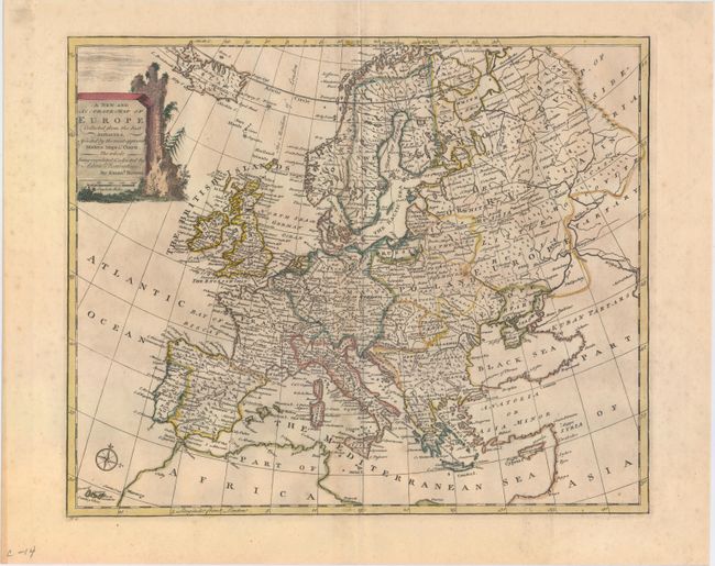
MapMaker: |
Emanuel Bowen
|
|
| |
| |
Subject: |
Europe |
|
| |
Period/Size: |
1747 / 13.7" x 16.7" (34.8 x 42.5 cm)
|
|
| |
Color: |
Colored
|
|
| |
Condition: |
(B+) Original outline color with later coloring in the cartouche. On watermarked paper with light toning along the centerfold. (condition help) |
|
| |
Source: |
A Complete System of Geography |
|
| |
References: |
McCorkle (18th C. Geography Books) #17-3; Shirley (Bl Atlases) T.BOW-2a #5. |
|
| |
|
|
| Sales Information |
| |
| |
Price: |
|
|
| |
| |
Offered by: |
Old World Auctions |
|
| |
Catalog: |
Auction No. 150 - Antique Maps, Charts, Atlases & Globes (9230) |
|
| |
Lot/Item #: |
407 |
|
| |
| |
Date: |
09/2014
|
|
| |
| |
|