| Item Detail |
| |
| |
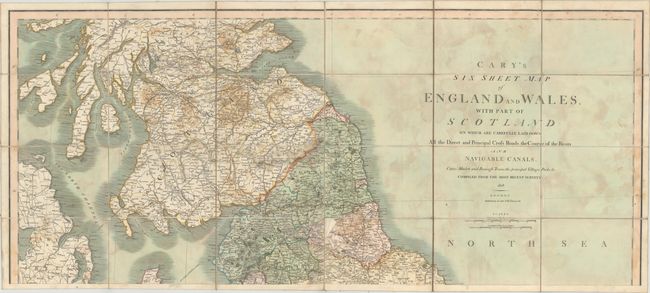
MapMaker: |
John Cary
|
|
| |
| |
Subject: |
Britain |
|
| |
Period/Size: |
1828 / 17.6" x 40.1" (44.7 x 101.9 cm)
|
|
| |
Color: |
Colored
|
|
| |
Condition: |
(B) The map has several areas, especially in the North Sea, where the adhesive that holds the map to the linen has shown through, appearing as a damp stain. There is one map panel at the top of the second sheet that has become loose and a few are dog-ear (condition help) |
|
| |
Source: |
|
|
| |
References: |
|
|
| |
|
|
| Sales Information |
| |
| |
Price: |
|
|
| |
| |
Offered by: |
Old World Auctions |
|
| |
Catalog: |
Auction No. 150 - Antique Maps, Charts, Atlases & Globes (9230) |
|
| |
Lot/Item #: |
412 |
|
| |
| |
Date: |
09/2014
|
|
| |
| |
|