| Item Detail |
| |
| |
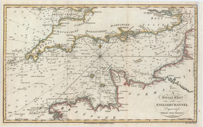
MapMaker: |
John Malham
|
|
| |
| |
Subject: |
Southern England |
|
| |
Period/Size: |
1795 / 7.5" x 12.3" (19.1 x 31.3 cm)
|
|
| |
Color: |
Colored
|
|
| |
Condition: |
(B+) A crisp impression issued folding that has been remargined at right with old paper with four tiny binding holes along the neatline, also at right. (condition help) |
|
| |
Source: |
Malham's Naval Gazetteer |
|
| |
References: |
McCorkle (18th C. Geography Books) #251, Vol. I-9. |
|
| |
|
|
| Sales Information |
| |
| |
Price: |
|
|
| |
| |
Offered by: |
Old World Auctions |
|
| |
Catalog: |
Auction No. 150 - Antique Maps, Charts, Atlases & Globes (9230) |
|
| |
Lot/Item #: |
417 |
|
| |
| |
Date: |
09/2014
|
|
| |
| |
|