| Item Detail |
| |
| |
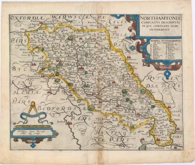
MapMaker: |
Saxton/Camden
|
|
| |
| |
Subject: |
Northamptonshire, England |
|
| |
Period/Size: |
1610 / 11.1" x 14.1" (28.2 x 35.9 cm)
|
|
| |
Color: |
Colored
|
|
| |
Condition: |
(B+) On a watermarked sheet with light toning along the centerfold and light printer's ink residue. There is a short centerfold separation at bottom that just enters the map image, and a short one at top confined to the blank margin. (condition help) |
|
| |
Source: |
Camden's Britannia |
|
| |
References: |
|
|
| |
|
|
| Sales Information |
| |
| |
Price: |
|
|
| |
| |
Offered by: |
Old World Auctions |
|
| |
Catalog: |
Auction No. 150 - Antique Maps, Charts, Atlases & Globes (9230) |
|
| |
Lot/Item #: |
418 |
|
| |
| |
Date: |
09/2014
|
|
| |
| |
|