Title:
“Johnson's New Illustrated (Steel Plate) Family Atlas, with Physical Geography, and with Descriptions Geographical, Statistical, and Historical...”
Map Maker:
Johnson & Ward
This complete atlas contains 66 beautifully render... (full text available to subscribers)
| Item Detail |
| |
| |
MapMaker: |
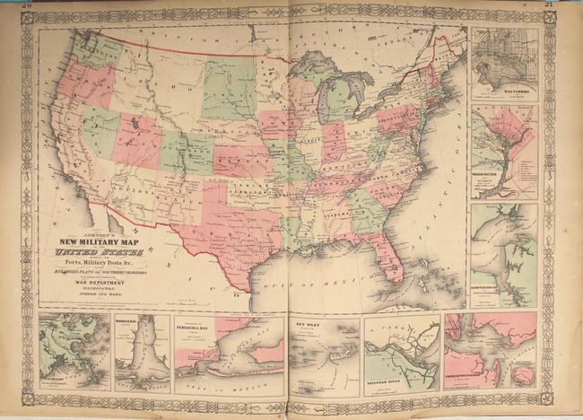
Johnson & Ward
|
|
| |
| |
Subject: |
Atlases |
|
| |
Period/Size: |
1864 / 18.8" x 14.8" (47.8 x 37.6 cm)
|
|
| |
Color: |
Colored
|
|
| |
Condition: |
(B+) The maps are all very good with a few occasional spots of foxing and a damp stain in the bottom right corner that only enters the border of about a quarter of the maps. A few maps have tears or chips in the blank margins that do not enter the map im (condition help) |
|
| |
Source: |
|
|
| |
References: |
|
|
| |
|
|
| Sales Information |
| |
| |
Price: |
|
|
| |
| |
Offered by: |
Old World Auctions |
|
| |
Catalog: |
Auction No. 150 - Antique Maps, Charts, Atlases & Globes (9230) |
|
| |
Lot/Item #: |
752 |
|
| |
| |
Date: |
09/2014
|
|
| |
| |
|
Antique Maps - Valuation and Pricing, Descriptions, Resources |
|
Home |
Information |
Search |
Register |
Contact Us |
Site Map
Americana Exchange, Inc. © 1999 - 2024 Americana Exchange, Inc.. All rights reserved.
OldMaps.com, the OldMaps.com logo and
AMPR are service marks or registered service marks of Americana Exchange, Inc..
|