| Item Detail |
| |
| |
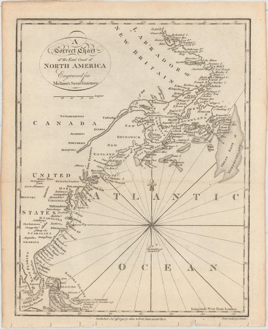
MapMaker: |
John Malham
|
|
| |
| |
Subject: |
Eastern United States & Canada |
|
| |
Period/Size: |
1795 / 9.4" x 7.4" (23.9 x 18.8 cm)
|
|
| |
Color: |
Black & White
|
|
| |
Condition: |
(A) Issued folding with a hint of offsetting and minor toning along sheet's edges. (condition help) |
|
| |
Source: |
Malham's Naval Gazetteer |
|
| |
References: |
McCorkle (18th C. Geography Books) #251, Vol. I-5. |
|
| |
|
|
| Sales Information |
| |
| |
Price: |
|
|
| |
| |
Offered by: |
Old World Auctions |
|
| |
Catalog: |
Auction No. 151 - Antique Maps, Charts, Atlases & Globes (9260) |
|
| |
Lot/Item #: |
116 |
|
| |
| |
Date: |
11/2014
|
|
| |
| |
|