| Item Detail |
| |
| |
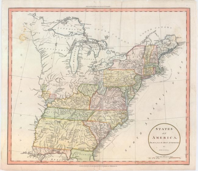
MapMaker: |
John Russell
|
|
| |
| |
Subject: |
Eastern United States |
|
| |
Period/Size: |
1801 / 15.7" x 18.1" (39.9 x 46.0 cm)
|
|
| |
Color: |
Colored
|
|
| |
Condition: |
(B) There are a few stains at top left and right and some minor extraneous creases. There are professional repairs to a centerfold separation at bottom, a 2" tear to the east of the Carolinas, and a few small chips and tears confined to the blank margins (condition help) |
|
| |
Source: |
Guthrie's New System of Geography |
|
| |
References: |
|
|
| |
|
|
| Sales Information |
| |
| |
Price: |
|
|
| |
| |
Offered by: |
Old World Auctions |
|
| |
Catalog: |
Auction No. 151 - Antique Maps, Charts, Atlases & Globes (9260) |
|
| |
Lot/Item #: |
141 |
|
| |
| |
Date: |
11/2014
|
|
| |
| |
|