| Item Detail |
| |
| |
MapMaker: |
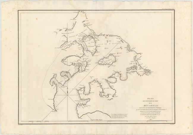
Jean Francois Galaup de La Perouse
|
|
| |
| |
Subject: |
Southeastern Alaska |
|
| |
Period/Size: |
1797 / 19.6" x 27.1" (49.8 x 68.9 cm)
|
|
| |
Color: |
Black & White
|
|
| |
Condition: |
(B+) A fine impression on watermarked paper with wide margins, a few small spots, faint offsetting, and a light damp stain along centerfold at top. (condition help) |
|
| |
Source: |
Atlas du Voyage de la Perouse |
|
| |
References: |
Wagner #843; Falk #1797-12' Shirley (BL Atlases) G.LPR-1a #26. |
|
| |
|
|
| Sales Information |
| |
| |
Price: |
|
|
| |
| |
Offered by: |
Old World Auctions |
|
| |
Catalog: |
Auction No. 151 - Antique Maps, Charts, Atlases & Globes (9260) |
|
| |
Lot/Item #: |
201 |
|
| |
| |
Date: |
11/2014
|
|
| |
| |
|