| Item Detail |
| |
| |
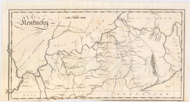
MapMaker: |
John Melish
|
|
| |
| |
Subject: |
Kentucky |
|
| |
Period/Size: |
1812 / 7.5" x 14.6" (19.1 x 37.1 cm)
|
|
| |
Color: |
Black & White
|
|
| |
Condition: |
(B) A nice impression with a bit of offsetting, a few small spots, and a tiny portion of the lower neatline missing due to an uneven binding trim. (condition help) |
|
| |
Source: |
Travels in the United States... |
|
| |
References: |
|
|
| |
|
|
| Sales Information |
| |
| |
Price: |
|
|
| |
| |
Offered by: |
Old World Auctions |
|
| |
Catalog: |
Auction No. 151 - Antique Maps, Charts, Atlases & Globes (9260) |
|
| |
Lot/Item #: |
238 |
|
| |
| |
Date: |
11/2014
|
|
| |
| |
|