| Item Detail |
| |
| |
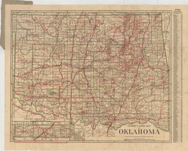
MapMaker: |
Clason Map Company
|
|
| |
| |
Subject: |
Oklahoma |
|
| |
Period/Size: |
1910 / 16.5" x 20.3" (42.0 x 51.6 cm)
|
|
| |
Color: |
Colored
|
|
| |
Condition: |
(B) Issued folding with light toning and offsetting, some soiling, and a few small splits at fold intersections and along the folds in the bottom blank margin. A tear that extends 4" into map at top has been closed on verso with archival tape. Front pap (condition help) |
|
| |
Source: |
|
|
| |
References: |
|
|
| |
|
|
| Sales Information |
| |
| |
Price: |
|
|
| |
| |
Offered by: |
Old World Auctions |
|
| |
Catalog: |
Auction No. 151 - Antique Maps, Charts, Atlases & Globes (9260) |
|
| |
Lot/Item #: |
282 |
|
| |
| |
Date: |
11/2014
|
|
| |
| |
|