| Item Detail |
| |
| |
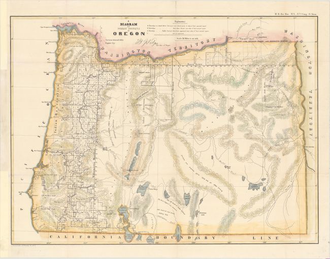
MapMaker: |
Julius Bien
|
|
| |
| |
Subject: |
Oregon |
|
| |
Period/Size: |
1863 / 17.9" x 24.0" (45.5 x 61.0 cm)
|
|
| |
Color: |
Colored
|
|
| |
Condition: |
(B+) Clean and bright with attractive color. Issued folding with several small fold separations that have been archivally repaired. Binding trims at left have been replaced with old paper. (condition help) |
|
| |
Source: |
H.R. Ex Doc. No. 1. 37th Cong. 3d Sess. |
|
| |
References: |
|
|
| |
|
|
| Sales Information |
| |
| |
Price: |
|
|
| |
| |
Offered by: |
Old World Auctions |
|
| |
Catalog: |
Auction No. 151 - Antique Maps, Charts, Atlases & Globes (9260) |
|
| |
Lot/Item #: |
283 |
|
| |
| |
Date: |
11/2014
|
|
| |
| |
|