| Item Detail |
| |
| |
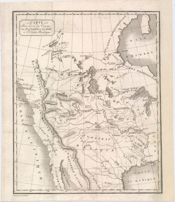
MapMaker: |
Jean Baptiste Pierre Tardieu
|
|
| |
| |
Subject: |
Western United States & Canada |
|
| |
Period/Size: |
1810 / 9.6" x 7.9" (24.4 x 20.1 cm)
|
|
| |
Color: |
Black & White
|
|
| |
Condition: |
(B+) Issued folding with light offsetting, minor soiling, and a tear that enters 1" into map at right that has been professionally repaired. Remargined at right to accommodate framing. (condition help) |
|
| |
Source: |
Voyage des Capitaines Lewis et Clarke… |
|
| |
References: |
Wheat (TMW) #300. |
|
| |
|
|
| Sales Information |
| |
| |
Price: |
|
|
| |
| |
Offered by: |
Old World Auctions |
|
| |
Catalog: |
Auction No. 151 - Antique Maps, Charts, Atlases & Globes (9260) |
|
| |
Lot/Item #: |
124 |
|
| |
| |
Date: |
11/2014
|
|
| |
| |
|