| Item Detail |
| |
| |
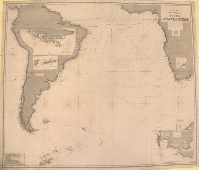
MapMaker: |
Richard Holmes Laurie
|
|
| |
| |
Subject: |
South Atlantic |
|
| |
Period/Size: |
1877 / 41.8" x 48.8" (106.2 x 124.0 cm)
|
|
| |
Color: |
Black & White
|
|
| |
Condition: |
(B) A dark impression with light soiling and a number of tears along the top edge, most of which have been closed with archival materials. The top left corner has been separated and reattached with cello tape. (condition help) |
|
| |
Source: |
|
|
| |
References: |
|
|
| |
|
|
| Sales Information |
| |
| |
Price: |
|
|
| |
| |
Offered by: |
Old World Auctions |
|
| |
Catalog: |
Auction No. 151 - Antique Maps, Charts, Atlases & Globes (9260) |
|
| |
Lot/Item #: |
430 |
|
| |
| |
Date: |
11/2014
|
|
| |
| |
|