| Item Detail |
| |
| |
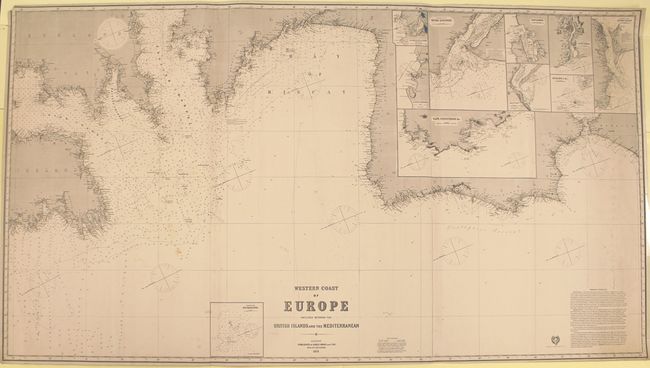
MapMaker: |
James Imray, Sr.
|
|
| |
| |
Subject: |
Western Europe |
|
| |
Period/Size: |
1876 / 40.2" x 72.9" (102.1 x 185.2 cm)
|
|
| |
Color: |
Black & White
|
|
| |
Condition: |
(B+) A nice impression with original color (red and yellow) on lighthouses. There are abrasions in the St. Martin inset, light soiling, a small chip in the top left corner, and a short edge tear that just enters the neatline at right. A few manuscript n (condition help) |
|
| |
Source: |
|
|
| |
References: |
|
|
| |
|
|
| Sales Information |
| |
| |
Price: |
|
|
| |
| |
Offered by: |
Old World Auctions |
|
| |
Catalog: |
Auction No. 151 - Antique Maps, Charts, Atlases & Globes (9260) |
|
| |
Lot/Item #: |
498 |
|
| |
| |
Date: |
11/2014
|
|
| |
| |
|