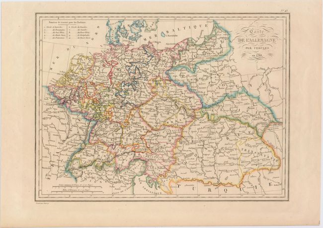
Title:
“Carte de l'Allemagne par Cercles en 1789”
Map Maker:
Conrad Malte-Brun
This intriguing map shows the Holy Roman Empire as... (full text available to subscribers)
| Item Detail |
| |
| |
MapMaker: |
Conrad Malte-Brun
|
|
| |
| |
Subject: |
Central Europe |
|
| |
Period/Size: |
1837 / 8.9" x 12.0" (22.6 x 30.5 cm)
|
|
| |
Color: |
Colored
|
|
| |
Condition: |
(A) Original color. (condition help) |
|
| |
Source: |
|
|
| |
References: |
|
|
| |
|
|
| Sales Information |
| |
| |
Price: |
|
|
| |
| |
Offered by: |
Old World Auctions |
|
| |
Catalog: |
Auction No. 151 - Antique Maps, Charts, Atlases & Globes (9260) |
|
| |
Lot/Item #: |
518 |
|
| |
| |
Date: |
11/2014
|
|
| |
| |
|
Antique Maps - Valuation and Pricing, Descriptions, Resources |
|
Home |
Information |
Search |
Register |
Contact Us |
Site Map
Americana Exchange, Inc. © 1999 - 2024 Americana Exchange, Inc.. All rights reserved.
OldMaps.com, the OldMaps.com logo and
AMPR are service marks or registered service marks of Americana Exchange, Inc..
|