| Item Detail |
| |
| |
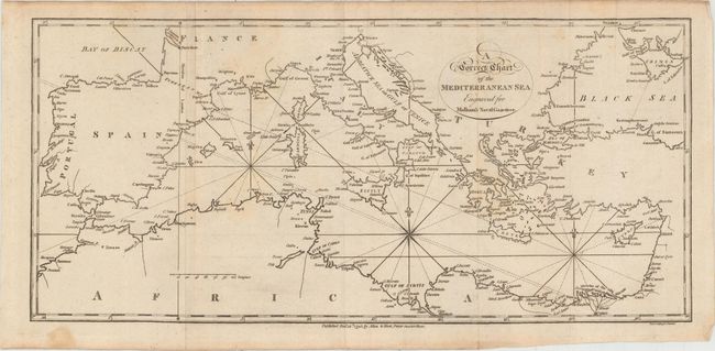
MapMaker: |
John Malham
|
|
| |
| |
Subject: |
Mediterranean |
|
| |
Period/Size: |
1795 / 7.3" x 15.9" (18.6 x 40.4 cm)
|
|
| |
Color: |
Black & White
|
|
| |
Condition: |
(B+) Issued folding with faint scattered foxing, minor offsetting, and a couple mis-folds. There is a small stain at left in the bottom blank margin. (condition help) |
|
| |
Source: |
Malham's Naval Gazetteer |
|
| |
References: |
McCorkle (18th C. Geography Books) #251, Vol. II-3. |
|
| |
|
|
| Sales Information |
| |
| |
Price: |
|
|
| |
| |
Offered by: |
Old World Auctions |
|
| |
Catalog: |
Auction No. 151 - Antique Maps, Charts, Atlases & Globes (9260) |
|
| |
Lot/Item #: |
587 |
|
| |
| |
Date: |
11/2014
|
|
| |
| |
|