Title:
“Atlas Contenant Vingt-Sept Cartes Geographiques, pour Servir a l'Histoire Ancienne et Romaine”
Map Maker:
Charles Rollin
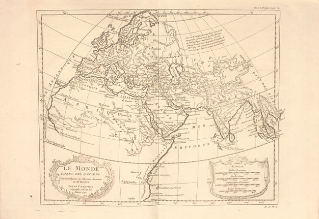
This complete historical atlas contains 27 maps (1... (full text available to subscribers)
| Item Detail |
| |
| |
MapMaker: |
Charles Rollin
|
|
| |
| |
Subject: |
Atlases |
|
| |
Period/Size: |
1807 / 12.3" x 9.4" (31.3 x 23.9 cm)
|
|
| |
Color: |
Black & White
|
|
| |
Condition: |
(B+) The maps are clean and bright with faint to light offsetting. Covers are moderately worn with bumped edges. (condition help) |
|
| |
Source: |
|
|
| |
References: |
|
|
| |
|
|
| Sales Information |
| |
| |
Price: |
|
|
| |
| |
Offered by: |
Old World Auctions |
|
| |
Catalog: |
Auction No. 151 - Antique Maps, Charts, Atlases & Globes (9260) |
|
| |
Lot/Item #: |
740 |
|
| |
| |
Date: |
11/2014
|
|
| |
| |
|
Antique Maps - Valuation and Pricing, Descriptions, Resources |
|
Home |
Information |
Search |
Register |
Contact Us |
Site Map
Americana Exchange, Inc. © 1999 - 2024 Americana Exchange, Inc.. All rights reserved.
OldMaps.com, the OldMaps.com logo and
AMPR are service marks or registered service marks of Americana Exchange, Inc..
|