| Item Detail |
| |
| |
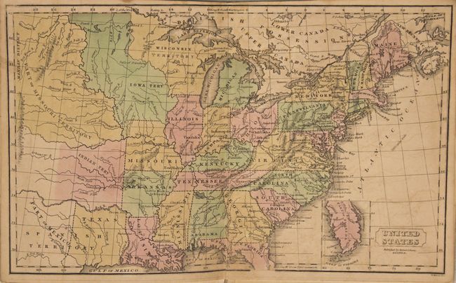
MapMaker: |
Daniel Adams
|
|
| |
| |
Subject: |
Atlases |
|
| |
Period/Size: |
1838 / 8.6" x 6.8" (21.9 x 17.3 cm)
|
|
| |
Color: |
Colored
|
|
| |
Condition: |
(B) The maps are good to very good with light scattered foxing and faint offsetting. The map of the British Isles has a 1.5" edge tear at left that has been closed on verso with archival tape. Covers are lightly soiled and the spine has been reinforced. (condition help) |
|
| |
Source: |
|
|
| |
References: |
|
|
| |
|
|
| Sales Information |
| |
| |
Price: |
|
|
| |
| |
Offered by: |
Old World Auctions |
|
| |
Catalog: |
Auction No. 151 - Antique Maps, Charts, Atlases & Globes (9260) |
|
| |
Lot/Item #: |
744 |
|
| |
| |
Date: |
11/2014
|
|
| |
| |
|