Title:
“Mitchell's New General Atlas, Containing Maps of the Various Countries of the World, Plans of Cities, etc. Embraced in Fifty Quarto Maps, Forming a Series of Eighty Maps and Plans, Together with Valuable Statistical Tables”
Map Maker:
Samuel Augustus Mitchell
This complete example of Mitchell's world atlas wa... (full text available to subscribers)
| Item Detail |
| |
| |
MapMaker: |
Samuel Augustus Mitchell
|
|
| |
| |
Subject: |
Atlases |
|
| |
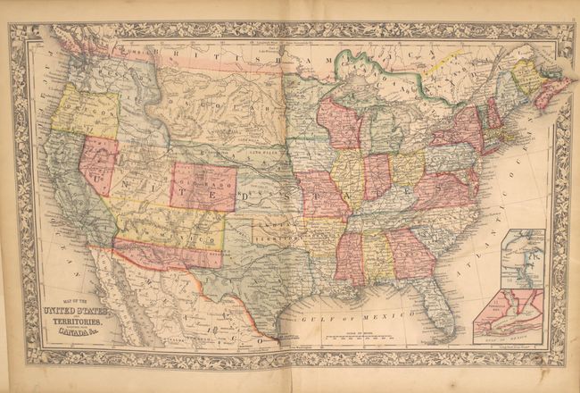
Period/Size: |
1862 / 16.0" x 13.0" (40.7 x 33.1 cm)
|
|
| |
Color: |
Colored
|
|
| |
Condition: |
(B+) Condition code is for the maps which are generally very good with light toning and scattered foxing. The map of Ohio/Indiana has separated from the text block and chipped along the edges of the sheet. The title page and list of maps have large damp (condition help) |
|
| |
Source: |
|
|
| |
References: |
|
|
| |
|
|
| Sales Information |
| |
| |
Price: |
|
|
| |
| |
Offered by: |
Old World Auctions |
|
| |
Catalog: |
Auction No. 151 - Antique Maps, Charts, Atlases & Globes (9260) |
|
| |
Lot/Item #: |
747 |
|
| |
| |
Date: |
11/2014
|
|
| |
| |
|
Antique Maps - Valuation and Pricing, Descriptions, Resources |
|
Home |
Information |
Search |
Register |
Contact Us |
Site Map
Americana Exchange, Inc. © 1999 - 2024 Americana Exchange, Inc.. All rights reserved.
OldMaps.com, the OldMaps.com logo and
AMPR are service marks or registered service marks of Americana Exchange, Inc..
|