| Item Detail |
| |
| |
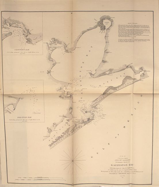
MapMaker: |
U.S. Coast Survey
|
|
| |
| |
Subject: |
Exploration and Surveys |
|
| |
Period/Size: |
1851 / 9.0" x 6.0" (22.9 x 15.3 cm)
|
|
| |
Color: |
Black & White
|
|
| |
Condition: |
(B) The maps are generally good with light to occasionally moderate toning and offsetting. The bottom third of the Sandy Hook map is nearly separated and the three "Reconnoissance of the Western Coast" maps and the Key West map each have a long centerfol (condition help) |
|
| |
Source: |
Sen. Doc 3, 32nd Cong., 2nd Sess. |
|
| |
References: |
|
|
| |
|
|
| Sales Information |
| |
| |
Price: |
|
|
| |
| |
Offered by: |
Old World Auctions |
|
| |
Catalog: |
Auction No. 151 - Antique Maps, Charts, Atlases & Globes (9260) |
|
| |
Lot/Item #: |
758 |
|
| |
| |
Date: |
11/2014
|
|
| |
| |
|