| Item Detail |
| |
| |
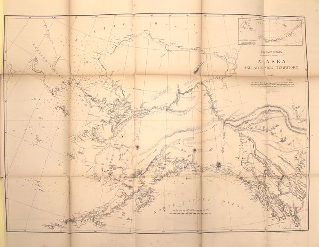
MapMaker: |
U.S. Coast Survey
|
|
| |
| |
Subject: |
Exploration and Surveys - United States |
|
| |
Period/Size: |
1869 / 11.7" x 9.3" (29.8 x 23.7 cm)
|
|
| |
Color: |
Black & White
|
|
| |
Condition: |
(B+) Maps are very good with some light toning along the folds, occasional faint offsetting, and a few spots of foxing. There are library stamps on the versos of most maps and Stanford library/Branner Geological library bookplates on the inside front cov (condition help) |
|
| |
Source: |
HR Ex Doc No. 275, 40th Cong., 2nd Session |
|
| |
References: |
|
|
| |
|
|
| Sales Information |
| |
| |
Price: |
|
|
| |
| |
Offered by: |
Old World Auctions |
|
| |
Catalog: |
Auction No. 151 - Antique Maps, Charts, Atlases & Globes (9260) |
|
| |
Lot/Item #: |
760 |
|
| |
| |
Date: |
11/2014
|
|
| |
| |
|