Title:
“Johnson's New Illustrated (Steel Plate) Family Atlas, with Physical Geography, and with Descriptions Geographical, Statistical, and Historical...”
Map Maker:
Johnson & Ward
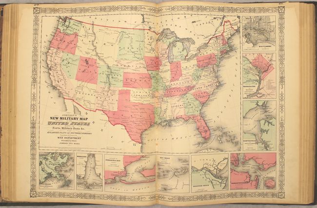
This atlas contains 65 (out of 66) beautifully ren... (full text available to subscribers)
| Item Detail |
| |
| |
MapMaker: |
Johnson & Ward
|
|
| |
| |
Subject: |
Atlases |
|
| |
Period/Size: |
1864 / 18.8" x 14.8" (47.8 x 37.6 cm)
|
|
| |
Color: |
Colored
|
|
| |
Condition: |
(B+) The maps are all very good with very light toning and an occasional spot of foxing. There are light damp stains on the edges of the text block, entering the border on some maps. The engraving of the flags has a long centerfold separation and a long (condition help) |
|
| |
Source: |
|
|
| |
References: |
|
|
| |
|
|
| Sales Information |
| |
| |
Price: |
|
|
| |
| |
Offered by: |
Old World Auctions |
|
| |
Catalog: |
Auction No. 152 - Antique Maps, Charts, Atlases & Globes (9261) |
|
| |
Lot/Item #: |
762 |
|
| |
| |
Date: |
02/2015
|
|
| |
| |
|
Antique Maps - Valuation and Pricing, Descriptions, Resources |
|
Home |
Information |
Search |
Register |
Contact Us |
Site Map
Americana Exchange, Inc. © 1999 - 2024 Americana Exchange, Inc.. All rights reserved.
OldMaps.com, the OldMaps.com logo and
AMPR are service marks or registered service marks of Americana Exchange, Inc..
|