Title:
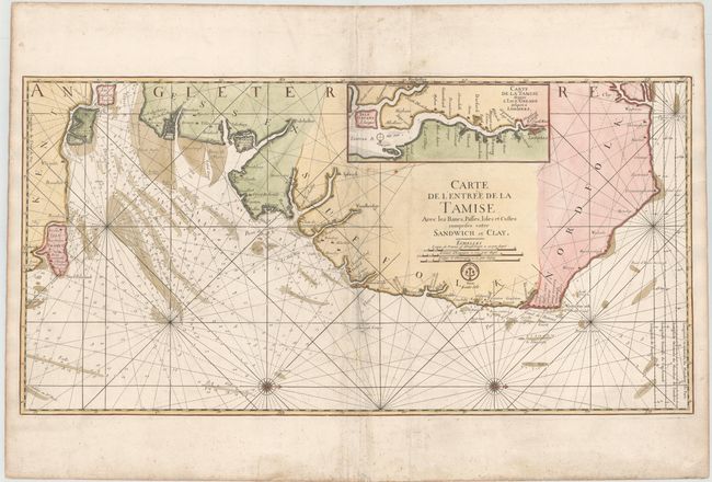
“Carte de l'Entree de la Tamise avec les Bancs, Passes, Isles et Costes Comprises Entre Sandwich et Clay”
Map Maker:
Jacques Nicolas Bellin
Large-scale chart of the eastern coastline of Norf... (full text available to subscribers)
| Item Detail |
| |
| |
MapMaker: |
Jacques Nicolas Bellin
|
|
| |
| |
Subject: |
Eastern England |
|
| |
Period/Size: |
1773 / 18.0" x 35.8" (45.8 x 91.0 cm)
|
|
| |
Color: |
Colored
|
|
| |
Condition: |
(B) A nice impression on heavy, watermarked paper with moderate soiling and professional repairs to a long centerfold separation and a 5" tear extending from the compass rose at left. (condition help) |
|
| |
Source: |
La Neptune Francois… |
|
| |
References: |
Pastoureau, NEPTUNE FRANCAIS D #9. |
|
| |
|
|
| Sales Information |
| |
| |
Price: |
|
|
| |
| |
Offered by: |
Old World Auctions |
|
| |
Catalog: |
Auction No. 152 - Antique Maps, Charts, Atlases & Globes (9261) |
|
| |
Lot/Item #: |
398 |
|
| |
| |
Date: |
02/2015
|
|
| |
| |
|
Antique Maps - Valuation and Pricing, Descriptions, Resources |
|
Home |
Information |
Search |
Register |
Contact Us |
Site Map
Americana Exchange, Inc. © 1999 - 2024 Americana Exchange, Inc.. All rights reserved.
OldMaps.com, the OldMaps.com logo and
AMPR are service marks or registered service marks of Americana Exchange, Inc..
|