| Item Detail |
| |
| |
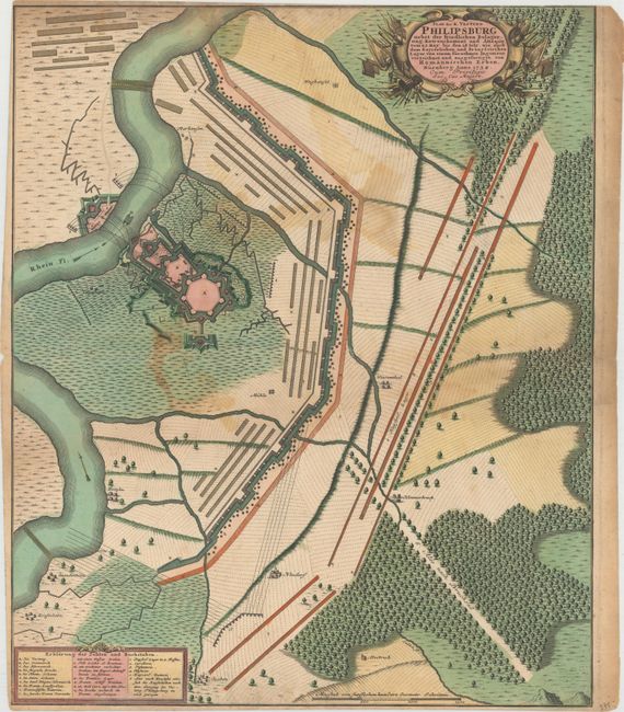
MapMaker: |
Homann Heirs
|
|
| |
| |
Subject: |
Phillippsburg, Germany |
|
| |
Period/Size: |
1734 / 23.5" x 19.4" (59.7 x 49.3 cm)
|
|
| |
Color: |
Colored
|
|
| |
Condition: |
(B) A dark impression with original color. There are a few stains, a short worm track at top, light soiling, and a small puncture near the bottom of the sheet. Trimmed to the neatline at top, as issued, with a small portion of the neatline missing at to (condition help) |
|
| |
Source: |
|
|
| |
References: |
Phillips (A) #3293-62. |
|
| |
|
|
| Sales Information |
| |
| |
Price: |
|
|
| |
| |
Offered by: |
Old World Auctions |
|
| |
Catalog: |
Auction No. 152 - Antique Maps, Charts, Atlases & Globes (9261) |
|
| |
Lot/Item #: |
486 |
|
| |
| |
Date: |
02/2015
|
|
| |
| |
|