Title:
“Colton's General Atlas, Containing One Hundred and Seventy Steel Plate Maps and Plans, on One Hundred Imperial Folio Sheets”
Map Maker:
Joseph Hutchins Colton
Colton's massive single-volume
General Atlas
| Item Detail |
| |
| |
MapMaker: |
Joseph Hutchins Colton
|
|
| |
| |
Subject: |
Atlases |
|
| |
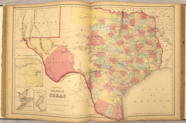
Period/Size: |
1857 / 18.0" x 15.0" (45.8 x 38.1 cm)
|
|
| |
Color: |
Colored
|
|
| |
Condition: |
(B+) The maps are very good with light even-age toning, occasional foxing and minor soiling. The map of the western hemisphere has a tear that extends into the border at bottom and has been closed on verso with archival tape. The frontispiece has some m (condition help) |
|
| |
Source: |
|
|
| |
References: |
|
|
| |
|
|
| Sales Information |
| |
| |
Price: |
|
|
| |
| |
Offered by: |
Old World Auctions |
|
| |
Catalog: |
Auction No. 152 - Antique Maps, Charts, Atlases & Globes (9261) |
|
| |
Lot/Item #: |
761 |
|
| |
| |
Date: |
02/2015
|
|
| |
| |
|
Antique Maps - Valuation and Pricing, Descriptions, Resources |
|
Home |
Information |
Search |
Register |
Contact Us |
Site Map
Americana Exchange, Inc. © 1999 - 2024 Americana Exchange, Inc.. All rights reserved.
OldMaps.com, the OldMaps.com logo and
AMPR are service marks or registered service marks of Americana Exchange, Inc..
|