| Item Detail |
| |
| |
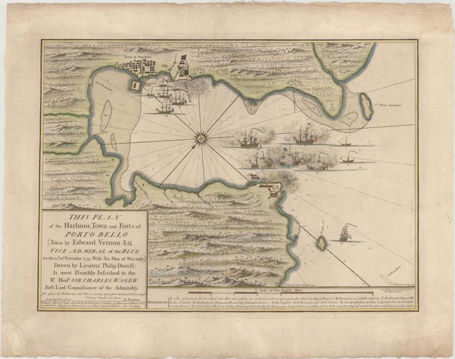
MapMaker: |
Philip Durell
|
|
| |
| |
Subject: |
Portobelo, Panama |
|
| |
Period/Size: |
1740 / 16.4" x 23.0" (41.7 x 58.5 cm)
|
|
| |
Color: |
Colored
|
|
| |
Condition: |
(B+) A nice impression on watermarked paper with wide margins, very minor soiling, and a crease adjacent to centerfold. There is a faint damp stain at bottom that enters about 2" into image along centerfold. (condition help) |
|
| |
Source: |
|
|
| |
References: |
Kapp (MCC-73) #54. |
|
| |
|
|
| Sales Information |
| |
| |
Price: |
|
|
| |
| |
Offered by: |
Old World Auctions |
|
| |
Catalog: |
Auction No. 152 - Antique Maps, Charts, Atlases & Globes (9261) |
|
| |
Lot/Item #: |
310 |
|
| |
| |
Date: |
02/2015
|
|
| |
| |
|