| Item Detail |
| |
| |
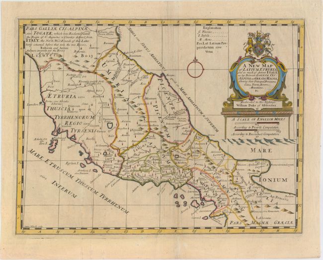
MapMaker: |
Edward Wells
|
|
| |
| |
Subject: |
Central Italy |
|
| |
Period/Size: |
1701 / 14.3" x 19.1" (36.4 x 48.6 cm)
|
|
| |
Color: |
Colored
|
|
| |
Condition: |
(B+) A nice impression with a printer's crease adjacent to centerfold, light soiling, and two tiny holes only visible when held to light. (condition help) |
|
| |
Source: |
A New Sett of Maps both of Antient and Present Geography |
|
| |
References: |
Shirley (BL Atlases) T.WELL-1a #17. |
|
| |
|
|
| Sales Information |
| |
| |
Price: |
|
|
| |
| |
Offered by: |
Old World Auctions |
|
| |
Catalog: |
Auction No. 152 - Antique Maps, Charts, Atlases & Globes (9261) |
|
| |
Lot/Item #: |
541 |
|
| |
| |
Date: |
02/2015
|
|
| |
| |
|