| Item Detail |
| |
| |
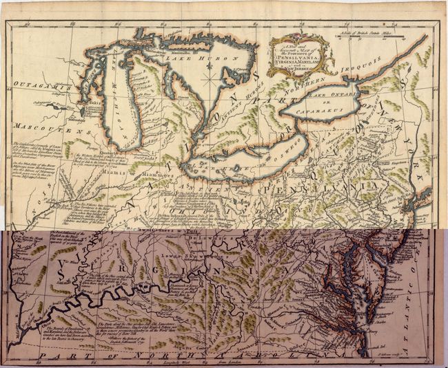
MapMaker: |
John Gibson
|
|
| |
| |
Subject: |
Colonial Eastern United States, Great Lakes |
|
| |
Period/Size: |
1762 / 11.0" x 13.8" (28.0 x 35.1 cm)
|
|
| |
Color: |
Colored
|
|
| |
Condition: |
(B+) Issued folding with attractive color on watermarked paper. Trimmed to the neatline at lower left and bottom. (condition help) |
|
| |
Source: |
American Gazetteer |
|
| |
References: |
Phillips (America) p. 674. |
|
| |
|
|
| Sales Information |
| |
| |
Price: |
|
|
| |
| |
Offered by: |
Old World Auctions |
|
| |
Catalog: |
Auction No. 152 - Antique Maps, Charts, Atlases & Globes (9261) |
|
| |
Lot/Item #: |
139 |
|
| |
| |
Date: |
02/2015
|
|
| |
| |
|