Title:
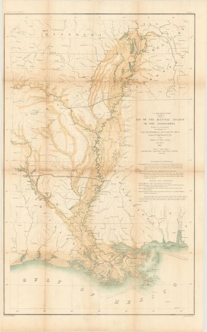
“Map of the Alluvial Region of the Mississippi…”
Map Maker:
U.S. War Department
Detailed map covers the region from the confluence... (full text available to subscribers)
| Item Detail |
| |
| |
MapMaker: |
U.S. War Department
|
|
| |
| |
Subject: |
Southern United States |
|
| |
Period/Size: |
1861 / 28.4" x 18.1" (72.2 x 46.0 cm)
|
|
| |
Color: |
Colored
|
|
| |
Condition: |
(B+) Issued folding with light toning and a few small damp stains along the folds. There are a few tiny splits at fold intersections closed on verso with archival tape. (condition help) |
|
| |
Source: |
U.S. Miss. Delta Survey |
|
| |
References: |
|
|
| |
|
|
| Sales Information |
| |
| |
Price: |
|
|
| |
| |
Offered by: |
Old World Auctions |
|
| |
Catalog: |
Auction No. 152 - Antique Maps, Charts, Atlases & Globes (9261) |
|
| |
Lot/Item #: |
170 |
|
| |
| |
Date: |
02/2015
|
|
| |
| |
|
Antique Maps - Valuation and Pricing, Descriptions, Resources |
|
Home |
Information |
Search |
Register |
Contact Us |
Site Map
Americana Exchange, Inc. © 1999 - 2024 Americana Exchange, Inc.. All rights reserved.
OldMaps.com, the OldMaps.com logo and
AMPR are service marks or registered service marks of Americana Exchange, Inc..
|