| Item Detail |
| |
| |
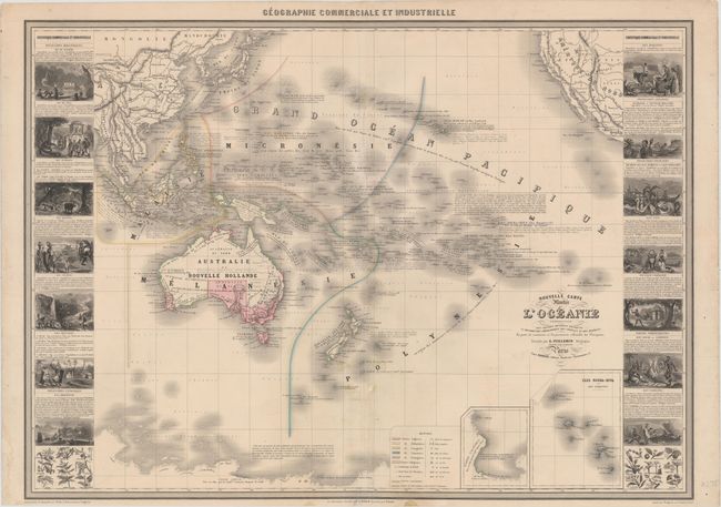
MapMaker: |
Alexander A. Vuillemin
|
|
| |
| |
Subject: |
South Pacific Ocean |
|
| |
Period/Size: |
1857 / 23.7" x 32.9" (60.2 x 83.6 cm)
|
|
| |
Color: |
Colored
|
|
| |
Condition: |
(B+) Original color with some short archivally repaired tears around the centerfold, some faint spots, and a few small abrasions. In the blank margins, a couple edge tears at left and right and a small chip at bottom have been repaired with archival mate (condition help) |
|
| |
Source: |
Geographie Commerciale et Industrielle |
|
| |
References: |
|
|
| |
|
|
| Sales Information |
| |
| |
Price: |
|
|
| |
| |
Offered by: |
Old World Auctions |
|
| |
Catalog: |
Auction No. 152 - Antique Maps, Charts, Atlases & Globes (9261) |
|
| |
Lot/Item #: |
711 |
|
| |
| |
Date: |
02/2015
|
|
| |
| |
|