| Item Detail |
| |
| |
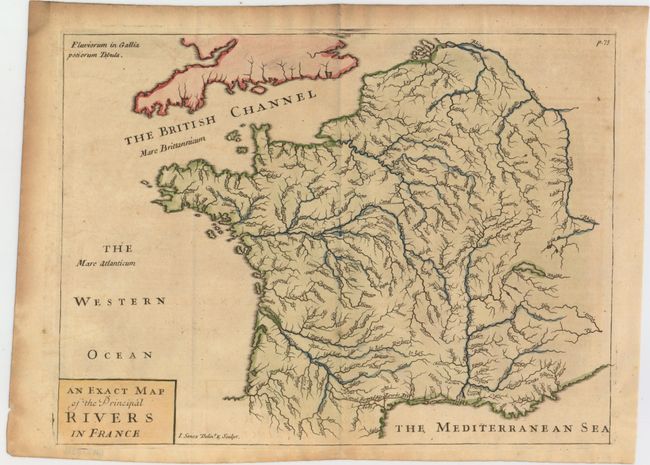
MapMaker: |
John Senex
|
|
| |
| |
Subject: |
France |
|
| |
Period/Size: |
1711 / 8.4" x 11.2" (21.4 x 28.5 cm)
|
|
| |
Color: |
Colored
|
|
| |
Condition: |
(B+) Nice impression and color with one tiny hole. Issued folding with minor toning in the image and moderate toning along the top and left edges of the sheet. (condition help) |
|
| |
Source: |
Introductio in Universam Geographicam |
|
| |
References: |
Shirley (BL Atlases) T.CLUV-9a #6. |
|
| |
|
|
| Sales Information |
| |
| |
Price: |
|
|
| |
| |
Offered by: |
Old World Auctions |
|
| |
Catalog: |
Auction No. 152 - Antique Maps, Charts, Atlases & Globes (9261) |
|
| |
Lot/Item #: |
447 |
|
| |
| |
Date: |
02/2015
|
|
| |
| |
|