| Item Detail |
| |
| |
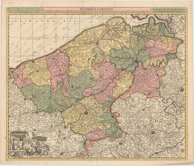
MapMaker: |
Nicolas Visscher
|
|
| |
| |
Subject: |
Western Belgium |
|
| |
Period/Size: |
1700 / 19.3" x 22.8" (49.1 x 58.0 cm)
|
|
| |
Color: |
Colored
|
|
| |
Condition: |
(B+) A clean, bright example with superb original color and professional repairs to a small hole at left, a centerfold separation that enters 2.5" into map at bottom, and an adjacent 1" tear. (condition help) |
|
| |
Source: |
|
|
| |
References: |
|
|
| |
|
|
| Sales Information |
| |
| |
Price: |
|
|
| |
| |
Offered by: |
Old World Auctions |
|
| |
Catalog: |
Auction No. 152 - Antique Maps, Charts, Atlases & Globes (9261) |
|
| |
Lot/Item #: |
439 |
|
| |
| |
Date: |
02/2015
|
|
| |
| |
|