| Item Detail |
| |
| |
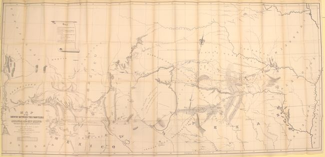
MapMaker: |
Randolph Barnes Marcy
|
|
| |
| |
Subject: |
Exploration and Surveys |
|
| |
Period/Size: |
1853 / 9.2" x 5.9" (23.4 x 15.0 cm)
|
|
| |
Color: |
Black & White
|
|
| |
Condition: |
(A) Condition code is for the maps - see above for map descriptions. Text and plates are very good with occasional light scattered foxing and toning. Hinges are starting. The covers show light to moderate wear and are beginning to detach at top. (condition help) |
|
| |
Source: |
Sen. Ex. Doc. 54, 32nd Congress, 2nd Session |
|
| |
References: |
Wheat (TMW) #791; Wagner-Camp 226:1; Howes #M276. |
|
| |
|
|
| Sales Information |
| |
| |
Price: |
|
|
| |
| |
Offered by: |
Old World Auctions |
|
| |
Catalog: |
Auction No. 152 - Antique Maps, Charts, Atlases & Globes (9261) |
|
| |
Lot/Item #: |
777 |
|
| |
| |
Date: |
02/2015
|
|
| |
| |
|