| Item Detail |
| |
| |
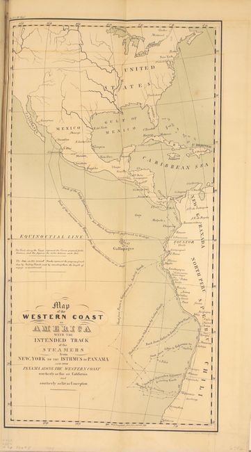
MapMaker: |
U.S. Government
|
|
| |
| |
Subject: |
Exploration and Surveys, Panama Canal |
|
| |
Period/Size: |
1839 / 9.4" x 6.3" (23.9 x 16.0 cm)
|
|
| |
Color: |
Black & White
|
|
| |
Condition: |
(A) Condition code is for the maps and plate which are near fine. Text has scattered foxing with about a quarter of the pages toned. New binding is pristine. (condition help) |
|
| |
Source: |
HR Doc. 322, 25th Congress, 3rd Session |
|
| |
References: |
Claussen & Friis #310, 311, 313-315. |
|
| |
|
|
| Sales Information |
| |
| |
Price: |
|
|
| |
| |
Offered by: |
Old World Auctions |
|
| |
Catalog: |
Auction No. 152 - Antique Maps, Charts, Atlases & Globes (9261) |
|
| |
Lot/Item #: |
775 |
|
| |
| |
Date: |
02/2015
|
|
| |
| |
|