| Item Detail |
| |
| |
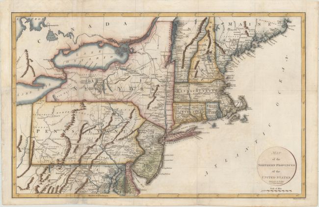
MapMaker: |
Richard Phillips
|
|
| |
| |
Subject: |
New England & Mid-Atlantic United States |
|
| |
Period/Size: |
1799 / 12.8" x 20.1" (32.6 x 51.1 cm)
|
|
| |
Color: |
Colored
|
|
| |
Condition: |
(B) Folding, as issued, with light offsetting and marginal soiling. A hole in western New York has been infilled, with minor loss of image. Two vertical tears through Maryland and Pennsylvania have been repaired with archival materials. Folds have been (condition help) |
|
| |
Source: |
Marshall's Life of Washington |
|
| |
References: |
McCorkle #799.7; Phillips (M) p. 873. |
|
| |
|
|
| Sales Information |
| |
| |
Price: |
|
|
| |
| |
Offered by: |
Old World Auctions |
|
| |
Catalog: |
Auction No. 155 - Antique Maps, Charts, Atlases & Globes (9278) |
|
| |
Lot/Item #: |
158 |
|
| |
| |
Date: |
11/2015
|
|
| |
| |
|