| Item Detail |
| |
| |
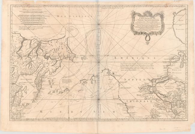
MapMaker: |
Jacques Nicolas Bellin
|
|
| |
| |
Subject: |
Western North America & North Pacific Ocean |
|
| |
Period/Size: |
1766 / 22.0" x 33.5" (55.9 x 85.1 cm)
|
|
| |
Color: |
Black & White
|
|
| |
Condition: |
(B) On watermarked paper with a few stains along the neatline at top, light soiling, faint offsetting, and remnants of hinge tape on verso. There are some chips and edge tears in the blank margins, with one tear entering the border at top left, and a pai (condition help) |
|
| |
Source: |
Hydrographie Francoise |
|
| |
References: |
Kershaw #1125; Wagner #610; Tooley (MCC-96) #771; Falk #1766-1; McGuirk #133. |
|
| |
|
|
| Sales Information |
| |
| |
Price: |
|
|
| |
| |
Offered by: |
Old World Auctions |
|
| |
Catalog: |
Auction No. 153 - Antique Maps, Charts, Atlases & Globes (9276) |
|
| |
Lot/Item #: |
96 |
|
| |
| |
Date: |
05/2015
|
|
| |
| |
|