| Item Detail |
| |
| |
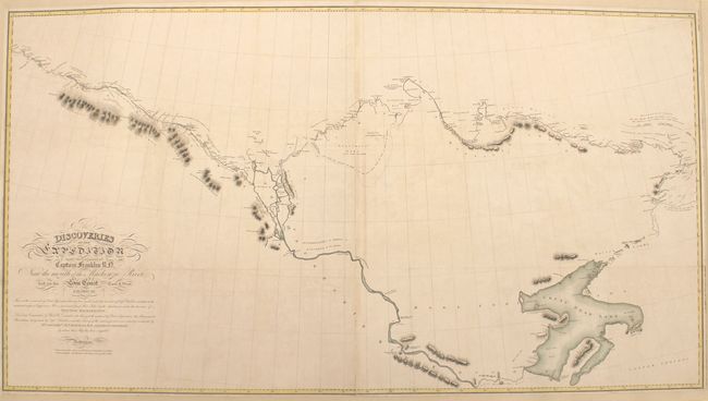
MapMaker: |
John Franklin
|
|
| |
| |
Subject: |
Northern Canada, Arctic Regions |
|
| |
Period/Size: |
1828 / 27.6" x 50.8" (70.1 x 129.1 cm)
|
|
| |
Color: |
Colored
|
|
| |
Condition: |
(B+) Clean and bright with minor toning along the joint. Issued folding and now pressed and professionally mounted on archival linen. The margins appear to have been trimmed with loss of the imprints of the publisher and engraver at bottom. (condition help) |
|
| |
Source: |
Narrative of a Second Expedition to the Shores of the Polar Sea … |
|
| |
References: |
|
|
| |
|
|
| Sales Information |
| |
| |
Price: |
|
|
| |
| |
Offered by: |
Old World Auctions |
|
| |
Catalog: |
Auction No. 153 - Antique Maps, Charts, Atlases & Globes (9276) |
|
| |
Lot/Item #: |
101 |
|
| |
| |
Date: |
05/2015
|
|
| |
| |
|