Title:
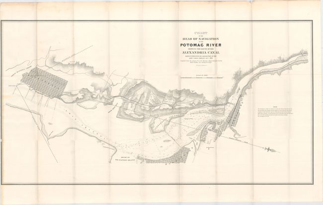
“Chart of the Head of Navigation of the Potomac River Shewing the Route of the Alexandria Canal Made in Pursuance of a Resolution of the Alexa. Canal Company Oct. 1838…”
Map Maker:
U.S. War Department
This is a large-scale map (4" to 1000') showing Al... (full text available to subscribers)
| Item Detail |
| |
| |
MapMaker: |
U.S. War Department
|
|
| |
| |
Subject: |
Mid-Atlantic United States |
|
| |
Period/Size: |
1838 / 19.0" x 36.0" (48.3 x 91.5 cm)
|
|
| |
Color: |
Black & White
|
|
| |
Condition: |
(B+) Issued folding with a few faint spots of foxing and faint toning along the left and top edges of the sheet. Trimmed to the neatline at left, with a small chip and tear entering the map border. (condition help) |
|
| |
Source: |
|
|
| |
References: |
Phillips (Maps) p. 724 |
|
| |
|
|
| Sales Information |
| |
| |
Price: |
|
|
| |
| |
Offered by: |
Old World Auctions |
|
| |
Catalog: |
Auction No. 153 - Antique Maps, Charts, Atlases & Globes (9276) |
|
| |
Lot/Item #: |
171 |
|
| |
| |
Date: |
05/2015
|
|
| |
| |
|
Antique Maps - Valuation and Pricing, Descriptions, Resources |
|
Home |
Information |
Search |
Register |
Contact Us |
Site Map
Americana Exchange, Inc. © 1999 - 2024 Americana Exchange, Inc.. All rights reserved.
OldMaps.com, the OldMaps.com logo and
AMPR are service marks or registered service marks of Americana Exchange, Inc..
|