| Item Detail |
| |
| |
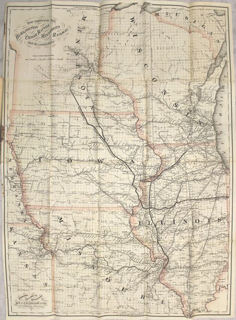
MapMaker: |
G.W. & C.B Colton [& Co.]
|
|
| |
| |
Subject: |
Central United States, Railroads |
|
| |
Period/Size: |
1868 / 33.0" x 24.1" (83.9 x 61.3 cm)
|
|
| |
Color: |
Colored
|
|
| |
Condition: |
(B+) Issued folding with a small brown stain along two folds at top and in the left blank margin. The map was detached from the pamphlet and reattached along the left margin using archival tape. Pamphlet text is very good, and the covers have several da (condition help) |
|
| |
Source: |
|
|
| |
References: |
|
|
| |
|
|
| Sales Information |
| |
| |
Price: |
|
|
| |
| |
Offered by: |
Old World Auctions |
|
| |
Catalog: |
Auction No. 153 - Antique Maps, Charts, Atlases & Globes (9276) |
|
| |
Lot/Item #: |
198 |
|
| |
| |
Date: |
05/2015
|
|
| |
| |
|