| Item Detail |
| |
| |
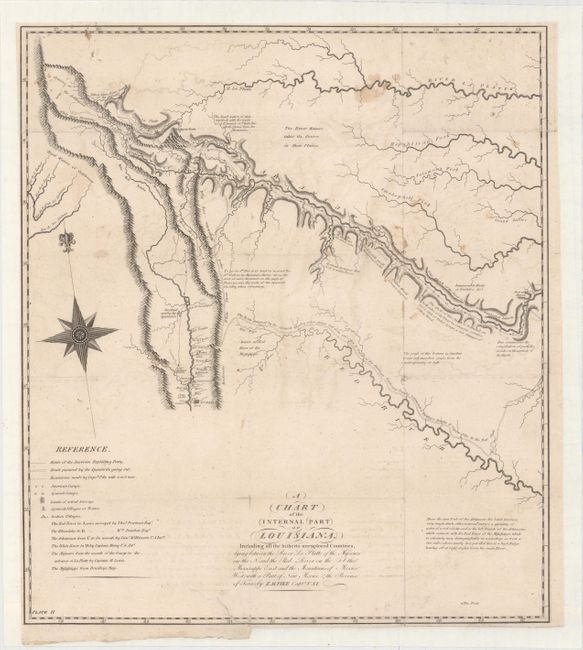
MapMaker: |
Zebulon Montgomery Pike
|
|
| |
| |
Subject: |
Southwestern United States |
|
| |
Period/Size: |
1810 / 17.4" x 15.4" (44.2 x 39.2 cm)
|
|
| |
Color: |
Black & White
|
|
| |
Condition: |
(B) Backed with tissue to reinforce and repair several tiny splits at fold intersections and an edge tear at bottom that extends 2" into a blank area of the map. Faint offsetting, minor soiling, and trimmed close to the neatline at left, top and bottom r (condition help) |
|
| |
Source: |
An Account of Expeditions to the Sources of the Mississippiģ |
|
| |
References: |
Wheat (TMW) #298; Blevins #6; Cohen pp. 97-99. |
|
| |
|
|
| Sales Information |
| |
| |
Price: |
|
|
| |
| |
Offered by: |
Old World Auctions |
|
| |
Catalog: |
Auction No. 153 - Antique Maps, Charts, Atlases & Globes (9276) |
|
| |
Lot/Item #: |
214 |
|
| |
| |
Date: |
05/2015
|
|
| |
| |
|