| Item Detail |
| |
| |
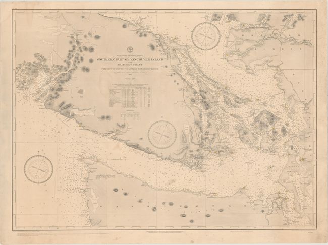
MapMaker: |
U.S. Hydrographic Office
|
|
| |
| |
Subject: |
Vancouver Island, Canada |
|
| |
Period/Size: |
1895 / 26.9" x 36.6" (68.4 x 93.0 cm)
|
|
| |
Color: |
Black & White
|
|
| |
Condition: |
(B+) A nice impression with original color (red and yellow) on lighthouses. There is very light toning, minor mildew spots, and a few faint damp stains. Backed in linen to repair a tear that enters 7" into image at right. (condition help) |
|
| |
Source: |
|
|
| |
References: |
|
|
| |
|
|
| Sales Information |
| |
| |
Price: |
|
|
| |
| |
Offered by: |
Old World Auctions |
|
| |
Catalog: |
Auction No. 153 - Antique Maps, Charts, Atlases & Globes (9276) |
|
| |
Lot/Item #: |
115 |
|
| |
| |
Date: |
05/2015
|
|
| |
| |
|