| Item Detail |
| |
| |
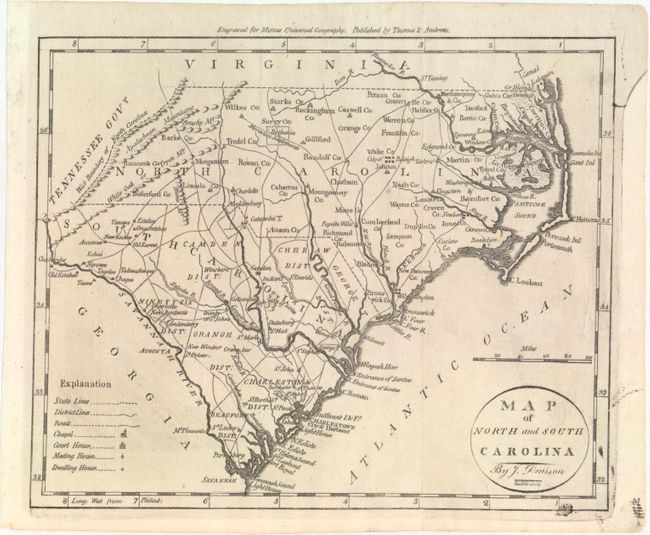
MapMaker: |
Jedidiah Morse
|
|
| |
| |
Subject: |
Southeast United States |
|
| |
Period/Size: |
1796 / 7.4" x 9.1" (18.8 x 23.2 cm)
|
|
| |
Color: |
Black & White
|
|
| |
Condition: |
(A) Issued folding with minor soiling, printer's ink residue at bottom right, and an archivally repaired fold separation at bottom. (condition help) |
|
| |
Source: |
The American Universal Geography |
|
| |
References: |
McCorkle (18th C. Geography) #304-14; Wheat & Brun #585. |
|
| |
|
|
| Sales Information |
| |
| |
Price: |
|
|
| |
| |
Offered by: |
Old World Auctions |
|
| |
Catalog: |
Auction No. 153 - Antique Maps, Charts, Atlases & Globes (9276) |
|
| |
Lot/Item #: |
183 |
|
| |
| |
Date: |
05/2015
|
|
| |
| |
|