| Item Detail |
| |
| |
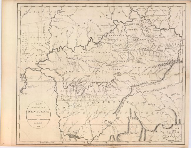
MapMaker: |
John Russell
|
|
| |
| |
Subject: |
Kentucky & Tennessee |
|
| |
Period/Size: |
1794 / 14.9" x 18.1" (37.9 x 46.0 cm)
|
|
| |
Color: |
Black & White
|
|
| |
Condition: |
(B+) Issued folding and now flattened on paper with "J. Whatman 1796" watermark. There is faint offsetting and a few archivally repaired fold separations that just enter the image. A binding trim at lower right that has been replaced with old paper and (condition help) |
|
| |
Source: |
An American Atlas… |
|
| |
References: |
Phillips (A) p. 752; Phillips (Maps) p. 350. |
|
| |
|
|
| Sales Information |
| |
| |
Price: |
|
|
| |
| |
Offered by: |
Old World Auctions |
|
| |
Catalog: |
Auction No. 153 - Antique Maps, Charts, Atlases & Globes (9276) |
|
| |
Lot/Item #: |
268 |
|
| |
| |
Date: |
05/2015
|
|
| |
| |
|