| Item Detail |
| |
| |
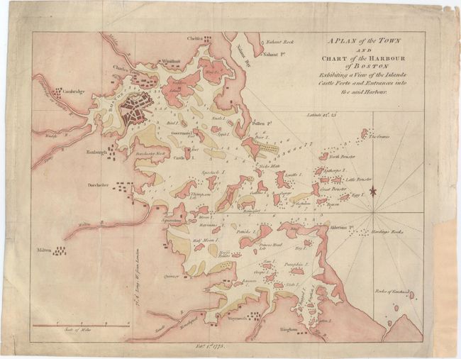
MapMaker: |
Anonymous
|
|
| |
| |
Subject: |
Boston, Massachusetts |
|
| |
Period/Size: |
1775 / 10.4" x 13.2" (26.5 x 33.6 cm)
|
|
| |
Color: |
Colored
|
|
| |
Condition: |
(B+) Issued folding, now pressed, with light soiling and a couple of minor extraneous creases. A binding trim in right blank margin has been replaced with old paper. (condition help) |
|
| |
Source: |
Gentleman's Magazine |
|
| |
References: |
Jolly #GENT-232. |
|
| |
|
|
| Sales Information |
| |
| |
Price: |
|
|
| |
| |
Offered by: |
Old World Auctions |
|
| |
Catalog: |
Auction No. 153 - Antique Maps, Charts, Atlases & Globes (9276) |
|
| |
Lot/Item #: |
280 |
|
| |
| |
Date: |
05/2015
|
|
| |
| |
|