| Item Detail |
| |
| |
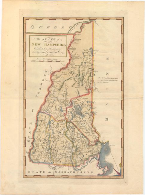
MapMaker: |
Lewis/Carey
|
|
| |
| |
Subject: |
New Hampshire |
|
| |
Period/Size: |
1813 / 17.9" x 11.2" (45.5 x 28.5 cm)
|
|
| |
Color: |
Colored
|
|
| |
Condition: |
(A) A nice impression with wide margins, light printer's ink residue, and two tiny worm tracks, one of which has been professionally infilled. There is a faint crease in the bottom left corner of the map. (condition help) |
|
| |
Source: |
Carey's General Atlas |
|
| |
References: |
Cobb (NH) #89; Phillips (A) #1372-7. |
|
| |
|
|
| Sales Information |
| |
| |
Price: |
|
|
| |
| |
Offered by: |
Old World Auctions |
|
| |
Catalog: |
Auction No. 153 - Antique Maps, Charts, Atlases & Globes (9276) |
|
| |
Lot/Item #: |
288 |
|
| |
| |
Date: |
05/2015
|
|
| |
| |
|