| Item Detail |
| |
| |
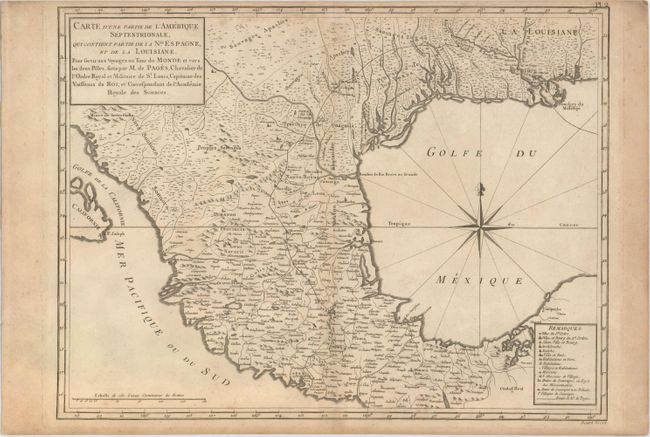
MapMaker: |
Pierre Marie Francoiste de Pages
|
|
| |
| |
Subject: |
Southwestern United States & Mexico |
|
| |
Period/Size: |
1782 / 12.7" x 16.8" (32.3 x 42.7 cm)
|
|
| |
Color: |
Black & White
|
|
| |
Condition: |
(B+) A nice impression on watermarked paper with light toning, a few tiny spots of foxing, and a narrow top margin, as issued. (condition help) |
|
| |
Source: |
Voyage Autour du Monde, et Vers les Deux Poles… |
|
| |
References: |
Howes #P13; Shirley (BL Atlases) G.PAGE-1a #2; Streeter #1027. |
|
| |
|
|
| Sales Information |
| |
| |
Price: |
|
|
| |
| |
Offered by: |
Old World Auctions |
|
| |
Catalog: |
Auction No. 153 - Antique Maps, Charts, Atlases & Globes (9276) |
|
| |
Lot/Item #: |
348 |
|
| |
| |
Date: |
05/2015
|
|
| |
| |
|