| Item Detail |
| |
| |
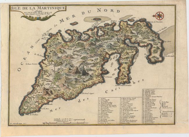
MapMaker: |
Nicolas de Fer
|
|
| |
| |
Subject: |
Martinique |
|
| |
Period/Size: |
1704 / 10.2" x 14.0" (25.9 x 35.6 cm)
|
|
| |
Color: |
Colored
|
|
| |
Condition: |
(B+) A dark impression with attractive color. Remargined at bottom with loss of neatline, which has been replaced in facsimile. One tiny worm hole and two small chips in blank margins have been professionally repaired. (condition help) |
|
| |
Source: |
Atlas Cureiux |
|
| |
References: |
Pastoureau, FER I [182]. |
|
| |
|
|
| Sales Information |
| |
| |
Price: |
|
|
| |
| |
Offered by: |
Old World Auctions |
|
| |
Catalog: |
Auction No. 153 - Antique Maps, Charts, Atlases & Globes (9276) |
|
| |
Lot/Item #: |
395 |
|
| |
| |
Date: |
05/2015
|
|
| |
| |
|